Noah’s Ark is known to Christians and non-adherents alike as the massive wooden ship that rescued the world during the great flood (Genesis 6-9). That was approximately 2350 BCE, based on traditional Biblical dating) and God shared its location in the Bible as if it was a dynamic geocaching clue.
But God remembered Noah and all the wild animals and the livestock that were with him in the ark, and he sent a wind over the earth, and the waters receded. Now the springs of the deep and the floodgates of the heavens had been closed, and the rain had stopped falling from the sky. The water receded steadily from the earth. At the end of the hundred and fifty days the water had gone down, and on the seventeenth day of the seventh month the ark came to rest on the mountains of Ararat.
July 17, 2350 BCE was it? It’s even mentioned in the Qur’an (Suras 11 and 71). There have been mighty explorations from Christians and Muslims alike to Mount Ararat to find this divinely built ocean cruiser, but no one has been able to pinpoint its location. Until, maybe now.
For over a decade, theological linguists and archaeologists have worked to deciphering the language on a 3,000-year-old tablet called the Imago Mundi, or “Image of the World.” The artifact was first unearthed in an 1882 excavation in Northern Iraq. Until now, the cuneiform (a Mesopotamian script of logo-syllabic characters) depicts a circular world map and features ancient Babylonian ideas about the creation of the world, hence, the artifact’s name.
According to Dr. Irving Finkel, a British Museum curator, “this is the oldest map of the world, in the world.” Finkel recently shared this exhaustive study of the cuneiform tablet does indeed reveal exacting references about Noah’s Ark. Although broken, chipped, and ruddy, the Imago Mundi speaks volumes about the familiar scriptures read in our Bible.
Does This Ancient GPS Show the Location of Noah’s Ark?

Dr. Finkel’s 18-minute exposition on the Imago Mundi is fascinating, but if you didn’t take the time to listen to it, he shares insight about the years of research and study.
“It has two sides, this is the front or ‘obverse’ and this is the back or the ‘reverse’ and the reverse consists of lots of lines of cuneiform in different ruled sections,” explained Finkel. “So it’s full of information, even though it’s a bit damaged. This is a very important ring of water because it meant for the Babylonians, they had a sort of idea of the limits of their world where they lived in about the 6th century BC.”
Finkel notes that the map shows ancient Mesopotamia, which is modern-day Iraq, surrounded by the “Bitter River.” The river, represented by a double ring, indicates the border of the Babylonians’ known world. Cuneiform passages on the opposite side of the tablet describe things any traveler would encounter on a journey, including “a path to Urartu.” While that may sound like a planet you’d hear about in “Star Trek,” Urartu has significant meaning to Christians.
The name “Urartu” comes from the Assyrian word urashtu, which means “High Place.” This refers to the mountainous region of the kingdom, or to the Urartians’ practice of building fortifications on rock promontories. In Hebrew, the word is translated “Ararat.”
“The first place you come to is called ‘Urartu’, it’s drawn on the map. Now, the interesting thing about that is that in the Bible Noah, in his Ark, landed on a mountain where the name is ‘Ararat’ and ‘Ararat’ is the Hebrew equivalent of the Assyrian ‘Urartu’. That’s quite a meaty thing, quite an interesting thing to think about because it shows that the story was the same, and of course that one led to the other but also, that from the Babylonian point of view, this was a matter of fact thing,” Finkel said.
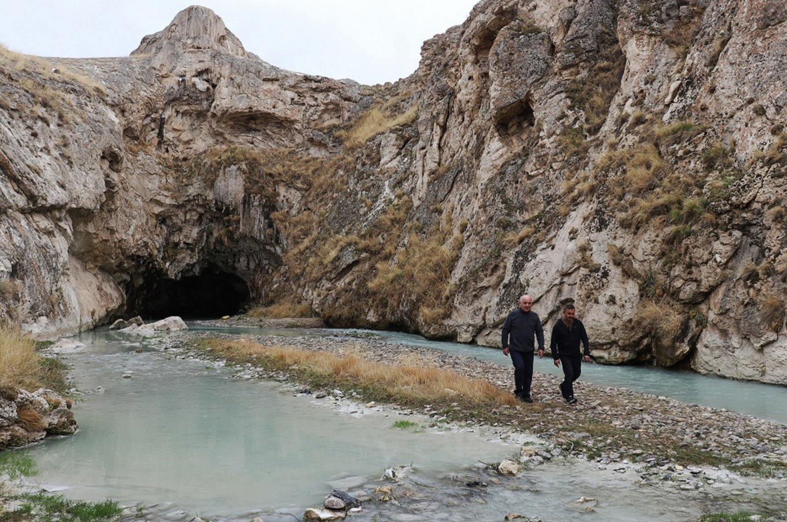
Scientists from various fields have searched for Noah’s Ark near and around Mount Ağrı (Urartu/Ararat) in Türkiye. Along with Biblical accounts, experts believe finding something of the Ark’s size–“300 cubits, 50 cubits, by 30 cubits, noted in Genesis 6:15,” estimated to be about 515 feet long, 86 feet wide, and 52 feet high–after a 150-day flood that submerged the Earth is highly problematic. It doesn’t stop them from trying.
The Noah’s Ark Story is Confirmed

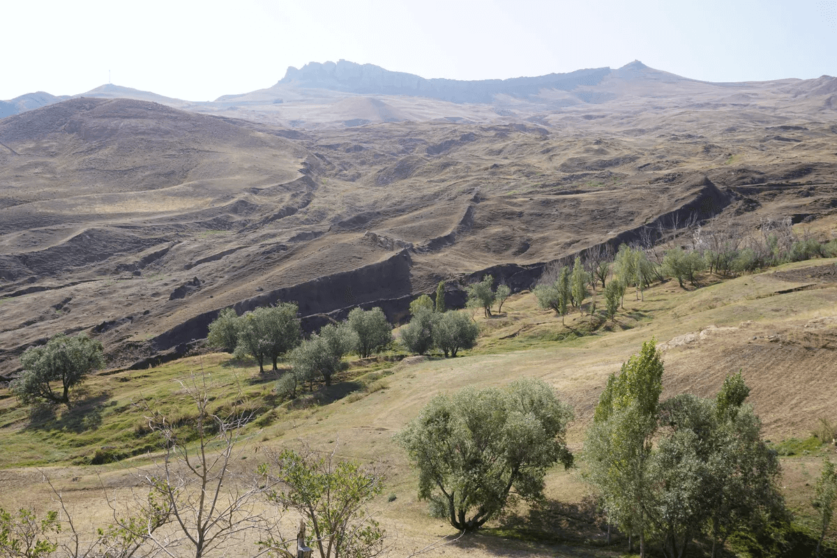
Now that the Imago Mundi has been deciphered, it showed accounts in the Bible were accurate many years ago. One location that has become considered the location of Noah’s Ark is known as the Durupınar Formation, which is a natural rock formation or a divine relic. The image shows a clear Arc outline in the land, but other experts contest that natural processes like erosion, temperature, and precipitation could have shaped that area.
However, nothing verified the Hebrew and Babylonian tales about Noah’s Ark until the cuneiform on the Imago Mundi was deciphered. Dr. Finkel discussed the other side of the artifact that confirms the Biblical account with ancient Babylonian myth.
On the reverse side of the artifact, passages reportedly provide a guide describing what a traveler would encounter on their journey, including a path to “Urartu” and specific instructions on how to get there. One passage says: “To the fourth, to which you must travel seven leagues.” Another passage reportedly instructs those on the journey to go through “seven leagues to see something that is thick as a parsiktu-vessel.”
The term “parsiktu” is seen on a couple of discovered ancient Babylonian tablets, a term that speaks to the scale and size of a boat that survived the Great Flood. The team used that term as inspiration when analyzing rock and soil samples from the area believed to contain remnants of the ancient ark. According to their findings, the soil exhibited signs of clay materials, marine substances, and aquatic life dating back to between 5,000 and 3,000 BCE.
“So what does this mean to us,” Finkel asks in his video. “Although this is a map which would not encourage you perhaps to moat across Iraq today in a Land Rover when it comes to operating beyond the limits of the known world into the world of imagination, it’s indispensable. So, for the first time, we can pronounce with authority that if we were an ancient Babylonian, we would know where to go to see the remains of that wonderful boat.”

